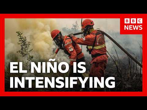
‘Godzilla’ El Niño is hitting us already. Here’s how | BBC News
Audio Summary
AI Summary
The world is entering a danger zone of extreme weather due to a "super-sized" El Niño, potentially the strongest in recorded history. This natural climate phenomenon, occurring when Pacific trade winds weaken, spreads warm water eastward, releasing heat and impacting global weather patterns.
El Niño typically brings drier conditions to Southeast Asia, India, Central America, and the Amazon, leading to drought and wildfires. Conversely, it causes heavy rain and flooding in East Africa, Peru, Ecuador, and the southern US. Combined with human-induced climate change, El Niño is expected to result in higher global temperatures.
Evidence of this El Niño's strength includes sea surface temperatures in the central and eastern Pacific exceeding 2°C above average, potentially reaching 4°C. This is contributing to unusual weather events like a weak monsoon in India, dry conditions in Southeast Asia, a lack of Atlantic hurricanes, and multiple typhoons and hurricanes in China and the central Pacific. Scientists predict these elevated sea temperatures could reach 4-5°C, with the phenomenon lasting until February 2027.
While climate change doesn't cause El Niño, it is believed to be making the strongest events more likely and intensifying their impacts by occurring on an already hotter planet. El Niño, characterized by warmth, is declared when eastern Pacific sea surface temperatures rise by 0.5°C above average. Its colder counterpart is La Niña.
The last strong El Niños occurred in 1983, 1998, and 2016. This current event is anticipated to be the strongest in our lifetimes, potentially making 2027 a record-breaking year for heat. Governments are urged to prepare for devastating economic and community impacts, with efforts focused on enhanced monitoring for wildfires and updated early warning systems for floods. However, questions remain about whether countries will have adequate resources to prepare for such an intense event.